


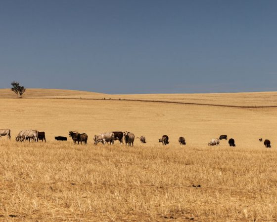
Use the PROWL system to support your planning of getting from field to field without encountering unexpected objects such as trees and power lines. Stock and agriculture farmers, forestry, remote locations – all can start to ensure your drone can maximise air time and avoid damage, to observe their subject [e.g. side view] without fear of collision.
High speed low-level flights become possible, where the drone could have faster reaction than human control would be capable of. To enable this, the drone needs to have prior knowledge of the hazards and obstacles that need to be avoided, rather than depending upon collision detection and avoidance in realtime. How do you know if the drone has tried to avoid one detected obstacle, and makes a decision to go into a dead-end? High speed flight becomes more possible if the drone is able to plan around known obstacles and hazards, and then only use collision detection and avoidance for transient threats (like birds etc.)
PROWL is a system that enables fully automated flight, where the operator of the drone can focus on their area of interest (like their crops or livestock), with a higher level of confidence that they won’t look up to find their drone caught in a tree or smashed against a cliff or structure. The PROWL system is crowd sourced, so that the operator – or even the drone itself – can submit new object polygons on objects that have been found or detected.
With the extensible nature of the PROWL database, objects can be tagged and categorised. You can tag the variety of your corps, the species of your trees, or the type of any other hazard that you encounter – even if someone else has already submitted the object. These tags are globally readable, so you can access attributes that others have used to further increase the quality of your source data for further processing.