


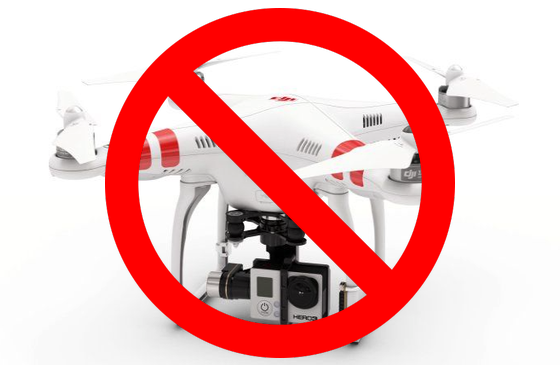
Some commonly raised concern about drones are that they go where they are not wanted – entering dangerous no-fly zones near airports and breaching people’s privacy. Drone operators don’t want to cause problems, and with the PROWL system, they can ensure that drones do not enter unwanted areas.
As the drone PROWL system is crowd-sourced and also leverages existing external sources of information, it can be used as a helpful reference for flight planning software and drone operations. Providing a list of categorised hazards, the PROWL database allows polygon objects to be marked as “no-fly” zones by civil aviation authorities (such as FAA, CASA, CAA), by local authorities (national parks authorities etc.), by infrastructure providers (such as power substations, power lines) and by other official organisations such as military and public service providers. These locations can be marked with precision in 3D space (depending upon GPS accuracy) and be referenced by users of the PROWL system.
The categorisation of hazard object polygons can also be applied to privacy requests. There is a dedicated categorisation for temporary privacy requests – property owners can pay a subscription to request a long term exclusion over their airspace. This can be honoured by flight planning software and drone control systems that utilise PROWL for object and hazard avoidance. As these categorisations are identified as privacy requests, if necessary they can be ignored by official organisations such as policing and emergency services.
Privacy and no-fly requests can also be temporary for a specified shorter time. For example, a stadium or public venue can request no drones to be in their airspace during an event (or the preparation for an event), but allow drone fly-overs when the location is not in use. Construction sites can specify an exclusion during times that cranes are operating, or even companies performing filming can exclude drones around their area that might interrupt their filming of period dramas.